ABOUT US


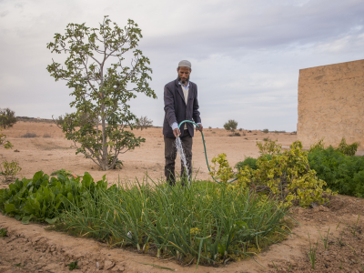
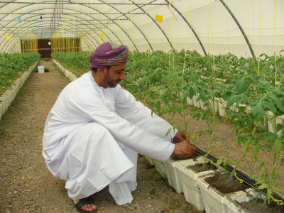
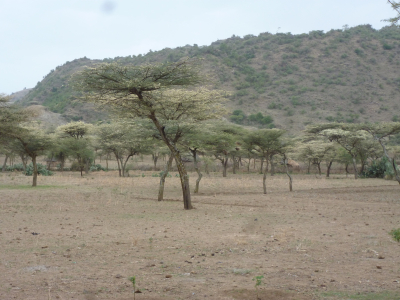
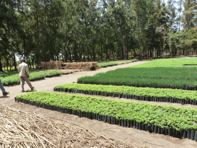
The project focuses on improving agricultural ecosystems and policies through collaborations with land managers, governments, researchers, the private sector and financial institutions, boosting economic growth and benefiting human health.
FOLUR project in Uzbekistan seeks to address key drivers of unsustainable management of wheat-dominated landscapes in Uzbekistan by promoting an integral landscape approach inclusive, sustainable agricultural value chains that address underlying drivers of landscape degradation and enhance Global Environmental Benefits.
The project's objective is to enhance conservation and restoration of habitats/ ecosystems in production landscapes for GEB and enhanced ecosystem services to support agriculture in an equitable manner.
Uzbekistan is the second biggest wheat producer after Kazakhstan in Central Asia. The staple grain is crucial for national food security and local livelihoods. Production has increased by more than 700 percent over the past 20 years. This rapid growth in demand puts ecosystems at risk due to resource depletion leading to severe land degradation, health risks from dust storms, water pollution, biodiversity loss and reduced agricultural resilience. The project aims to define and address knowledge gaps through building collaborations with local communities and research institutions. The project also addresses the activities that threaten global environmental values for conservation and restoration of habitats/ ecosystems in landscapes through creating alternative livelihoods.
The project will apply an Integrated Landscape Management approach, supported by Land Degradation Neutrality principles, Agroecology and Nature-based Solutions, with decisions and planning being informed by the LDN conceptual framework and project developed tools, such as a Decision-Support System and Land Suitability Analysis.
The project's activities include mapping of impact pathways of environmental damage is conducted and sources are confirmed through conducting geospatial analysis to characterize negative environmental changes affecting landscapes in project pilot regions.