ABOUT US

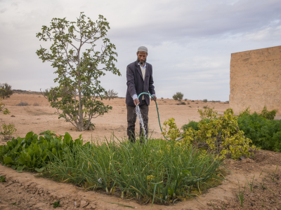
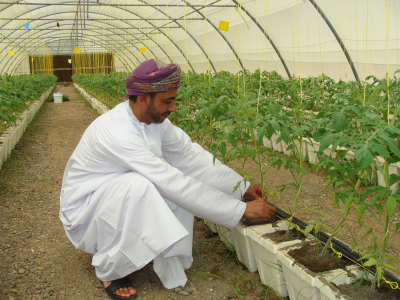
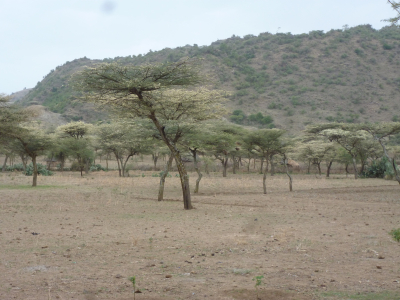
Improving the sustainability and water productivity of irrigated land in the semi-arid areas of the Mediterranean basin is considered as a priority at the European level. A consortium of academic institutions and small and medium-size entreprises was gathered recently to address a further challenge: monitoring the drainage at integrated spatial scales over irrigated perimeters and assessing the impact of that drainage on the river flow and water quality downstream. Drainage of irrigated agricultural land is necessary to maintain irrigation activities by avoiding salt build up and water logging. But the water drainage also affects the quality of rivers by return flow. There is thus a crucial need to monitor drainage over irrigated areas and our project proposes an approach to fill this gap by using remote sensing data.

For more information please visit full project website

Period of Implementation

Oct 1, 2020 - Nov 30, 2023
Total Budget

EUR 825,240.65

OUR IMPACT

Goals

Although poorly known or quantified, drainage actually is a key water flux controlling both the soil salinity over irrigated areas and the river flow downstream through return flow. IDEWA's main goal is thus to explicitly include drainage in the representation of the water balance of the crop field to the basin, in order to link water productivity, water quality and ecosystems preservation issues, and to provide the scientific background supporting a decision support system for managing them jointly.

Objectives

The project will be implemented in two Mediterranean representative case and well-monitored study areas in the Ebro (Spain) and Tensift (Morocco) basins. In particular, the drainage retrieval approach will be tested over the Algerri-Balaguer district (A-B), where drainage is actually measured at an integrated spatial scale. Since the land consolidation twenty years ago, A-B has been drained by a network of constructed ditches and buried pipelines feeding a general outlet in a 3-meter deep well, which now allows for continuously monitoring the flow rate and electrical conductivity. This configuration, resembling a huge passive lysimeter of 3500 ha, thus represents a unique opportunity to develop and test the satellite-based drainage retrieval approach.

Problems and Needs Analysis

Retrieving drainage from remote sensing is not an easy task since there is no direct measurement of soil water transfers from space. However, the water budget (WB) modeling can be constrained from Earth Observation (EO) in the various spectral bands. The remotely sensed crop evapotranspiration (ET), soil moisture (SM) and vegetation (VEG) water stress indices are useful for closing the WB of crops along the agricultural season.

Intervention Strategy(ies)

We plan to implement an interdisciplinary approach using the FAO dual crop coefficient (FAO-2Kc) based WB method and the SURFEX land surface model to estimate drainage at multiple (field, sub-basin and basin) scales. The WB model will provide actual drainage flow estimates over representative irrigated areas. The hydrological SURFEX model will provide information about the evolution of the water availability upstream and downstream those irrigated areas. The main idea is to assimilate remotely sensed SM, ET and VEG information in the land surface models. Moreover, the impact of drainage on ecosystems will be measured by remotely sensed water quality (WQ) indices.

Impact Pathway

Both modeling activities will join at the sub-basin scale where the WB estimates (including irrigation and drainage) will be used to calibrate and validate the hydrological model. EO data will allow for extending the field-scale water accounting to the sub-basin and basin scales, while in situ data will allow for validating the EO-derived data over experimental study sites. Dialogue with local stakeholders (farmers, irrigation agencies, basin agencies) in the selected study areas will allow for developing strategies to optimize the irrigation efficiency in terms of not only the water productivity, but also the water quality and its impact on river flows and ecosystems.

NEWS & EVENTS